
Rhino route near Tijarafe
Rural scenery above the west coast
The former “Rhino route” crossed the farming landscape around Tijarafe. Sections of old camino real, terraces, small ravines and dry vegetation accompany broad views over the north-west Atlantic coast. Its name referred to a distinctive rock shape and belonged to that local tour; it is not an official trail name used by the island network.
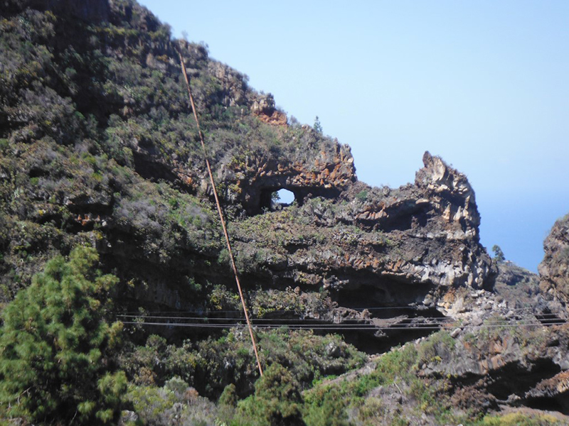
Village paths, cultivated slopes and deep-cut terrain give this part of the island its character. Sun and wind can be strong on the exposed western side even at moderate elevation.
A section of the GR 130
The reliable reference today is official GR 130 stage five between Tijarafe and Los Llanos de Aridane. It covers 12.85 kilometres, is graded moderate and accumulates about 520 metres of ascent and 830 metres of descent. The stated time in this direction is approximately 4 hours 15 minutes.
The former guided walk followed a shorter 9.5-kilometre variant and finished after several coastal sections near Tazacorte. That exact itinerary is not waymarked as a separate trail. Independent walkers should follow the official GR 130 or plan any shorter variation carefully with a current map.
Planning and trail status
This is a linear walk, so the start, finish and return journey must be arranged in advance. Bus services call along the official route, although current timetables should be checked. The Laderas de Amagar, with almost 600 metres of elevation difference, form the most demanding section.
Before setting out, check the current GR 130 status. Sturdy footwear, water and sun protection are essential, and several junctions and road crossings require care.