
Nature reserves on La Palma
A volcanic island under special protection
La Palma packs remarkable diversity into just 708 square kilometres. Climate and vegetation change over short distances between the dry coast, damp ravines, laurel forest, pine woodland and the 2,426-metre Roque de los Muchachos. The Atlantic, the trade-wind clouds and volcanic ground have shaped these contrasts together.
International protection began in 1983 with 511 hectares of the El Canal y Los Tiles estate in the north-east. UNESCO extended the designation to the whole island in 2002, and the La Palma World Biosphere Reserve now also includes a marine area. This does not turn La Palma into an untouchable museum: the aim is to conserve valuable ecosystems while allowing farming, communities and sustainable use of the land to continue.
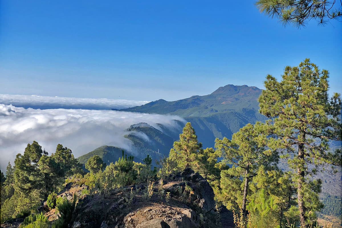
The Canary Islands Government also lists twenty sites on La Palma within the Canary Network of Protected Natural Areas. They include Caldera de Taburiente National Park, Las Nieves and Cumbre Vieja natural parks, strict nature reserves, natural monuments, protected landscapes and sites of scientific interest. Areas in the European Natura 2000 network overlap with and complement this island-wide system.
Each category has different rules. Access to a strict reserve may be tightly limited, whereas a natural park can allow recreation and traditional activities when they are compatible with conservation. The Canary Islands Government provides the current list of sites and their management plans.
Laurel forest: the green memory of the island
The slopes of the damp north-east intercept the trade winds. Clouds drift through the canopy, water condenses on leaves and branches, and droplets fall onto the forest floor. This climate preserved the laurisilva, an evergreen forest related to vegetation that covered broad areas of the Mediterranean region millions of years ago.
Los Tilos in Las Nieves Natural Park is its best-known showcase. Til, viñátigo, barbusano, laurel, palo blanco and holly grow with wax myrtle and tree heath in several layers, while mosses, ferns and many endemic species thrive below. It feels primeval, although water channels, paths and former woodland uses are also part of its human history.
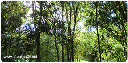
Cubo de la Galga near Puntallana is another doorway into this green world. Even a short walk reveals striking changes in light, humidity and temperature inside the ravine. Longer options climb towards viewpoints and higher ground; sturdy footwear is useful because roots and damp soil can be slippery.
The forest depends on quiet conditions and undisturbed soil. Stay on marked paths, leave ferns and flowers where they grow, and take away all rubbish, including food scraps. Some access routes may close after heavy rain, strong wind or forestry work, so instructions on site always take priority.
Caldera de Taburiente and the resilience of the pine
Caldera de Taburiente was declared a national park on 6 October 1954 and enlarged in 1981 to its present 4,690 hectares. This immense mountain amphitheatre, with almost two thousand metres of relief, was shaped by volcanic construction, major landslides and relentless water erosion. Streams, springs, rock walls and deep ravines create a world of their own in the island interior.
Canary pine woodland dominates much of this landscape. Its long needles collect moisture from clouds, while thick bark protects dormant buds from heat. Even blackened trunks can sprout again after many fires. This remarkable adaptation does not make the tree invulnerable: frequent or very intense fires damage the woodland, its wildlife and above all its thin soil. Our German-language Journal feature on the Canary pine after the 2016 wildfire provides further background.
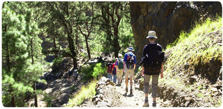
Visitors encounter the park through very different gateways. La Cumbrecita provides views from above, Los Brecitos descends into the wooded interior, and Barranco de las Angustias follows the natural drainage channel of the Caldera. A calm forecast on the coast is not enough here: rain can rapidly fill ravines, while altitude, heat or cold create challenges elsewhere.
Check the weather, path conditions and road access before every outing. Some tracks, parking areas or overnight stays require reservations and have specific rules. The national park authority publishes official routes and visitor information.
Cumbre Vieja, Tajogaite and a respectful visit
Cumbre Vieja Natural Park follows the volcanic ridge across the south. Old cones, black lapilli fields and young pine woods tell the story of historic eruptions. Tajogaite has formed part of this landscape since 2021. The eruption destroyed neighbourhoods, roads and farmland, but it also created new ground and a geologically young habitat whose development will be studied for many years.
The new cone is not an unrestricted viewpoint. The designated trail approaches it in small groups with authorised guides; barriers and warnings about gases, heat or loose material must be respected. Volcanic stones belong where they lie: taking one away changes the very landscape that visitors have come to see.
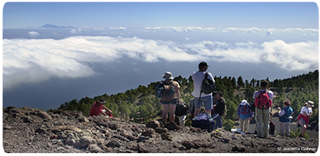
The same respect applies throughout the island. Keep to marked trails, do not build stone stacks, feed wildlife or pick plants, and take every piece of rubbish away. Dogs should be kept on a lead in sensitive areas. During hot, dry and windy weather, a single spark can start a forest fire, so smoking, open flames and any breach of current restrictions are unacceptable.
Weather, wildfire risk and path closures can change within hours. Check the official La Palma trail status before setting out. Tajogaite requires advance booking with an authorised operator. The result is more than a good photograph: it is a visit that leaves no additional damage behind. The German-language Journal feature three years after the Tajogaite eruption provides further context and first-hand impressions.