
Visitor centres on La Palma
Understand first, then explore
La Palma is best experienced outdoors, but its visitor and interpretation centres explain why the landscape is so unusual. Models, films, objects and maps introduce the island volcanoes, forests, stars and Benahoarita culture. Some centres are also the starting point for a trail, while others are worthwhile destinations in their own right.
Tourist offices and visitor centres have different roles. Tourist offices help with accommodation, events and general travel planning. The themed centres focus on a natural area or historic site. The old fixed list of CIT offices is no longer dependable because locations and opening days can change.
Before making a long journey, confirm opening times, admission, booking requirements and possible closures with the centre itself. This matters particularly for mountain, cave and forest sites. The official current incidents page lists last-minute tourism restrictions.
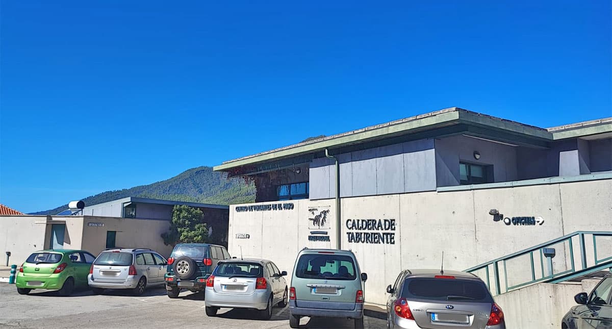
Caldera de Taburiente: El Paso Visitor Centre
The main information point for the national park stands at Carretera General de Padrón 47 on the edge of El Paso. It is the best introduction for visitors who want to understand the Caldera rather than simply photograph it: the exhibition covers geology and water, plants and wildlife, human use and the different ways into the park.
The building includes a projection room, visitor information and an educational botanical garden of island plants. Personal advice is particularly valuable before a walk because trail conditions inside the Caldera may differ sharply from those on the coast.
Staff can also clarify vehicle access to La Cumbrecita and use of the camping area inside the Caldera. Driving access, camping and other regulated activities may require advance booking. The national park authority provides the binding information.
Cumbre Vieja: El Pilar Visitor Centre
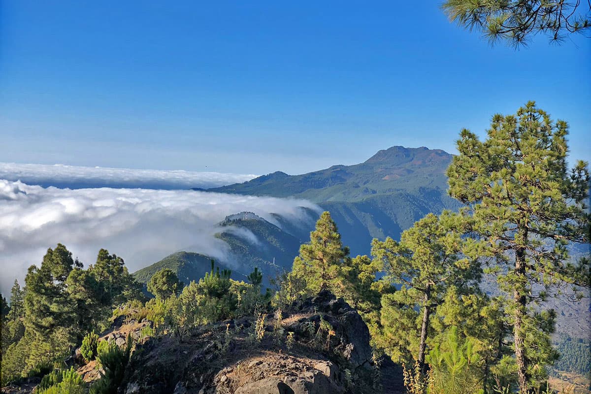
The Cumbre Vieja Natural Park Visitor Centre stands among the pines beside the El Pilar recreation area. This contemporary building occupies a spot where many excursions along the volcanic ridge begin. Exhibitions and films explain how eruptions, trade winds, fire and vegetation have shaped the southern half of La Palma.
The centre runs activities for schools and groups but is equally useful for independent visitors. Its location makes it a good introduction to the Volcano Route and shorter walks around El Pilar. The 2021 Tajogaite eruption gives its account of volcanism an immediate modern context.
Access is by mountain road and there is no regular urban bus service to the centre. Check weather, wildfire risk and closures before travelling. The official La Palma trail status takes priority over an old travel report.
Roque de los Muchachos: stars and high mountains
Since 2021, the highest part of La Palma has had a modern visitor centre. It stands beside the LP-4 in the municipality of Garafía, close to the observatory but outside the working scientific area. Visitors who have only seen the white domes from the road can discover the connection between the sky, the telescopes and the island.
Three themed rooms present the Canary Islands as a window on the universe, the exploration of space, and the natural and cultural heritage of Garafía. A large interactive table reveals the workings of the observatory instruments. Entry to the centre is not the same as a pre-booked tour inside a telescope building.

At around 2,400 metres, wind, cold, strong sunshine or snow can affect both access and opening. Take warm clothing and sun protection even when the coast is mild. Current times, admission and contact details are available from the La Palma interpretation centres.
Fuencaliente: San Antonio Volcano Visitor Centre
In the south, the green island turns black. The San Antonio Volcano Visitor Centre introduces the eruptions of Cumbre Vieja, earthquakes and life on young ground. Displays linked to volcanic monitoring, audiovisual exhibits and a small dome for astronomical observation make the subject accessible to families as well.
A short path leads from the building to the rim of the San Antonio crater. Views extend across vineyards, lava fields and the Atlantic to Teneguía, formed in 1971. The route is exposed, so wind, sunshine and loose volcanic ash call for sturdy footwear and some care.

The centre and crater walk form one paid visit. Opening times and admission may change, so check the current San Antonio Volcano Visitor Centre page.
Las Manchas: Caños de Fuego and Cueva de Las Palomas
Caños de Fuego reveals a part of volcanism that remains invisible from the surface. During the 1949 San Juan eruption, the outside of a lava flow solidified while molten material continued moving below. This left tubes and cavities that the Las Manchas centre explains through geology and conservation.
The complex includes an exhibition, audiovisual room, viewpoint and guided access to Cueva del Vidrio. Across the road, raised walkways cross the lava to a glass viewpoint beside the entrance to Cueva de Las Palomas. Going farther inside this tube is a separate activity requiring a guide, helmet and advance booking.
The cave is a fragile natural environment and is not suitable for every level of physical ability. Closed footwear and staff instructions are compulsory, and no geological or biological material may be removed. Options, opening times and bookings are listed by Caños de Fuego.
Los Tilos: an introduction to laurel forest
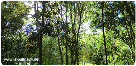
A small centre devoted to laurisilva stands at the end of the access road into Bosque de Los Tilos. Its themed rooms and films explain how trade winds, ravines and a stable climate maintain this evergreen forest. They also tell the story of the Biosphere Reserve, which began here in 1983 and expanded across the whole island in 2002.
The centre is a useful first stop before walking in the forest. Short and long routes begin nearby, but their condition may change after heavy rain, wind or maintenance. The demanding Marcos y Cordero route does not simply start at the visitor centre and requires separate planning for access and return transport.
The current tourism page for Bosque de Los Tilos gives access and facility information. Check island incident notices before setting out as well.
Benahoaritas: La Zarza, Belmaco and El Tendal
Three centres introduce the history of the Benahoaritas, the pre-Hispanic people of La Palma. They complement one another: La Zarza presents rock art in the damp north, Belmaco links caves with the beginnings of archaeological study in the south-east, and El Tendal explores a major settlement in Barranco de San Juan.
La Zarza y La Zarcita Cultural Park: Garafía preserves one of the island's most important groups of rock carvings. Spirals, meanders and circular motifs cover sections of the ravine walls. The interpretation centre introduces the outdoor circuit; damp ground and steps make suitable footwear advisable.
Belmaco Archaeological Park: The first Canary Island petroglyphs to attract scholarly attention were documented near Villa de Mazo in the eighteenth century. A centre displaying pottery and other finds leads to a circuit of ten natural caves and a rock-carving station.
El Tendal Archaeological Park: The place that the old text described as awaiting its opening is now fully established. It centres on a cave about 60 metres wide where Benahoaritas lived for many generations. The exhibition, introductory film and path into the ravine connect the objects with their original landscape; visitors do not enter the great cave itself.
Opening arrangements change more readily than the history. Consult the interpretation centres portal for El Tendal; the official tourism portal provides current descriptions of La Zarza and Belmaco.