
Cornmill Route above Santa Cruz de La Palma
Water power for the old mills
Above Santa Cruz, the Molinos de Bellido and other mill groups harnessed water flowing through the ravines. Several installations worked in sequence: after driving one wheel, the channel carried the same water onwards to the next mill. The result was a remarkable system of channels, drops and traditional grain processing.
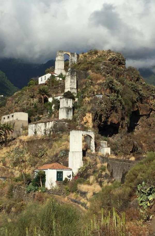
The route combines this water-engineering heritage with city views, ravines and the greener mid-slopes above the capital. It reveals a side of Santa Cruz that is hard to imagine from the historic seafront.
PR LP 2.2 Cornmill Route
Official PR LP 2.2 is seven kilometres long, graded moderate and gains approximately 410 metres. The island network gives the start as Barriada del Pilar or Campo del Mensajero, with the route returning to the city near the Barco de la Virgen. The estimated walking time is about two hours.
Despite its proximity to town, the elevation calls for sturdy footwear, water and sun protection. Damp or slippery stretches are possible after rain. The official PR LP 2.2 page provides a map and current status.
Links with Las Nieves and Santa Cruz
The mill area can be linked with further paths in Barranco del Río and towards Las Nieves. These extensions are not necessarily part of the marked core circuit and should be planned with a current map.
The sanctuary of Nuestra Señora de las Nieves houses La Palma’s patron saint. Its late Romanesque polychrome terracotta figure is regarded as the second-oldest Catholic image of the Virgin in the Canary Islands. This preserves the cultural interest of the old account without repeating the unsupported claim that it mysteriously reached the island before the conquerors.