
Teneguía and San Antonio volcano route
Two historic volcanoes in the south
Among vineyards and dark lava fields, Fuencaliente preserves one of La Palma’s youngest landscapes. The San Antonio crater recalls the eruption of 1677. Farther south, Teneguía emerged during 24 days of volcanic activity in 1971. It remained the island’s most recent volcano for almost fifty years, until Tajogaite transformed the western slopes in 2021.
Vines grow in black lapilli, telling the story of the eruptions as clearly as the craters themselves. Wind, dry conditions and volcanic soil shape the vineyards around Los Canarios and contrast strongly with the pine forest at higher elevations.
From San Antonio to Teneguía
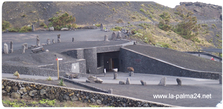
The San Antonio Volcano Visitor Centre is a useful starting point. Its exhibition explains the island’s volcanism, while the marked crater path opens views towards Teneguía, the coast, the two lighthouses and the salt pans. Stay on permitted paths: young lava surfaces are fragile and some edges fall away steeply.

Depending on the chosen variation, the walk may remain around San Antonio, continue towards Teneguía or descend to the Fuencaliente lighthouse. Black, red and yellow volcanic shades alternate along the way as pioneer plants reclaim the ground. Beside the sea stand the two lighthouses and the Fuencaliente salt pans, where sea salt is still produced.
Planning the walk
The longer variation to the coast is not circular and involves a considerable descent. Arrange return transport and confirm the starting point before setting out. The exposed southern slope has little shade; sun, wind and loose lapilli make sturdy hiking footwear, head protection and ample water essential.
Check the latest trail information with the La Palma Footpath Network immediately before the walk. Weather or conservation measures may alter the route. Respect closures, remain on the trail, leave stones in place and choose a shorter option during strong winds or excessive heat.